Photos on Gmaps
Previous | Main | Next |
Route: Santiago, Valparaiso, San Antonio, Puerto Montt, Castro, Puerto Chacabuco, Chilean fjords, Punta Arenas, Ushuaia, Puerto Williams, Drake Passage, Antarctica I, Antarctica II, Antarctica III, Antarctica IV, Antarctica V, Drake Passage, Falkland Islands, Argentine Sea (South Atlantic Ocean), Puerto Madryn, Montevideo, Buenos Aires - ship Ms. Zaandam.
Places: Gerlache Strait, Wilhelmina Bay, Errera Channel, Neko Harbor, Arctowski Peninsula, Danco Coast, Reclus Peninsula, Igloo Hill, Enterprise Island, Cuverville Island, Danco Island, Rongé Island, Anvers island, Reclus Peninsula, Danco Island.
Wildlife & flora: Gentoo penguin, Adélie penguin, Brown skua, Crabeater seal, Chinstrap penguin, Humpback whale, Southern giant petrel.
⏳ Dec 2018
Adélie penguin
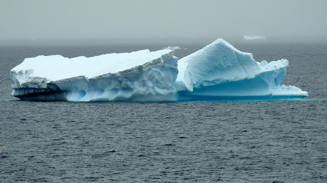
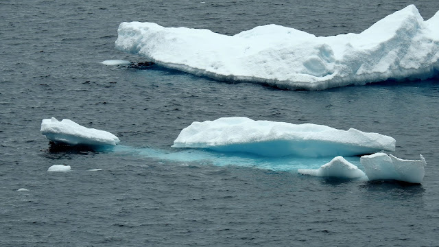
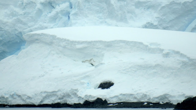
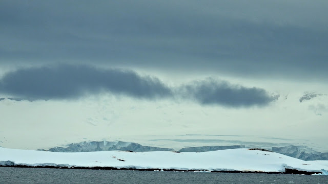
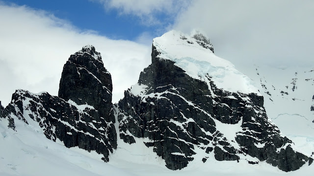
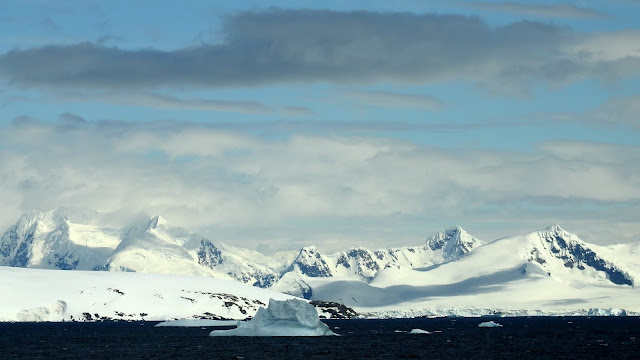
Gerlache Strait
Gerlache Strait or de Gerlache Strait or Détroit de la Belgica is a channel/strait separating the Palmer Archipelago from the Antarctic Peninsula. The Belgian Antarctic Expedition, under Lt. Adrien de Gerlache, explored the strait in January and February 1898, naming it for the expedition ship Belgica.[1] The name was later changed to honor the commander himself.
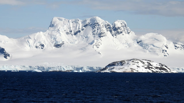
Wilhelmina Bay
Wilhelmina Bay is a bay 24 kilometers (15 mi) wide between the Reclus Peninsula and Cape Anna along the west coast of Graham Land on the Antarctic Peninsula. It was discovered by the Belgian Antarctic Expedition of 1897-99 led by Adrien de Gerlache. The bay is named for Wilhelmina, Queen of the Netherlands, who reigned from 1890 to 1948.
Adélie penguin
⏳ Dec 2018
















No comments:
Post a Comment