Previous | Main | Next |
Photos on Gmaps
Route: Santiago, Valparaiso, San Antonio, Puerto Montt, Castro, Puerto Chacabuco, Chilean fjords, Punta Arenas, Ushuaia, Puerto Williams, Drake Passage, Antarctica I, Antarctica II, Antarctica III, Antarctica IV, Antarctica V, Drake Passage, Falkland Islands, Argentine Sea (South Atlantic Ocean), Puerto Madryn, Montevideo, Buenos Aires - ship Ms. Zaandam.
Places: Chilean fjords, Canal Messier - Canal Scout, Isla Chang, Isla Millar. Isla Scout, Isla Scylla - Tortel, Bajo Cotopaxi, Isla Williams, Islote Bunster, Canal Adalberto (Canal Adalbert, Estrecho Adalberto), Pacific Ocean, Canal Pitt - Peel, Torres del Paine National Park, Estero Asia, El Brujo Glacier, Laguna Santa Ana, Amelia Glacier. Volcano Reclus, Canal Smyth, Volcano (Monte) Burney, Isla Pedro Montt, Alacalufes National Reserve, Muñoz Gamero Peninsula, Santa Leonar shipwreck, Strait of Magellan (Estrecho de Magallanes).
Wildlife & flora: Black-browed albatross, Imperial shag, Sealion, Magellanic cormorant, White-chinned petrel.
⏳ Dec 2018
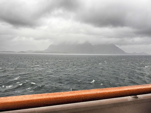
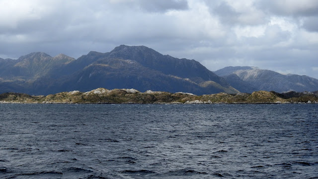
Canal Messier - Canal Scout
Surrounded islands: Isla Chang, Isla Millar. Isla Scout, Isla Scylla - Tortel, Aysén, ChileLooking forward... to south
Canal Messier - Canal Scout
Black-browed albatross
Wreck of the Capitán Leonidas in the Messier Channel.
MV Capitán Leonidas, a small freighter that ran aground on the Bajo Cotopaxi (Cotopaxi Bank) in 1968 (the captain tried to sink it to claim insurance). Bajo Cotopaxi is a shoal in Chile and has an elevation of 456 meters. At the east is Isla Williams with a lighthouse and Islote Bunster an islet in Chile.
Canal Adalberto (Canal Adalbert, Estrecho Adalberto)
Pacific Ocean
Canal Pitt - Peel
In the background they are 3 granite horn-shaped towers, peaks called Cuernos del Paine, from which the park takes its name - Torres del Paine National Park.
Spectacular peaks in Torres del Paine National Park:
Los Cuernos 2,000 m (6,561 ft / Cuerno Este), 2,200 m (7,217ft / Cuerno Norte) and 2,450 m (8,038 ft)
Cerro Fortaleza 2,681 m (8,795 ft)
Paine Grande 3,050 m (10,006 ft)
The Shark’s Fin 1,717 m (5,633 ft)
Cerro Espada 2,500 m (8,202 ft)
Almirante Nieto 2,640 m (8,661 ft)
Cerro Cabeza de Indio 2,230 m (7,316 ft)
Cerro Punzón 2,000 m (6,561 ft)
Cerro Nido de Condor 2,200 m (7,217 ft)
The Towers 2,850 m (9350 ft / South Tower), 2800 m (9186 ft / Central Tower), 2,600 m (8530 ft / North Tower)
Estero Asia
Sealion
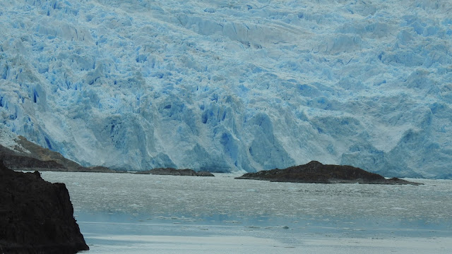
El Brujo Glacier
At the north is Laguna Santa Ana and at south Amelia Glacier and volcano Reclus.
Estero Asia
Canal Pitt - Peel
Canal Smyth
Volcano (Monte) Burney
Isla Pedro Montt
Volcano (Monte) Burney
Volcano (Monte) Burney
Alacalufes National Reserve
Navigating between Alacalufes National Reserve and Muñoz Gamero Peninsula.
Strait of Magellan (Estrecho de Magallanes)
⏳ Dec 2018












No comments:
Post a Comment